Signal Ridge District
District Overview
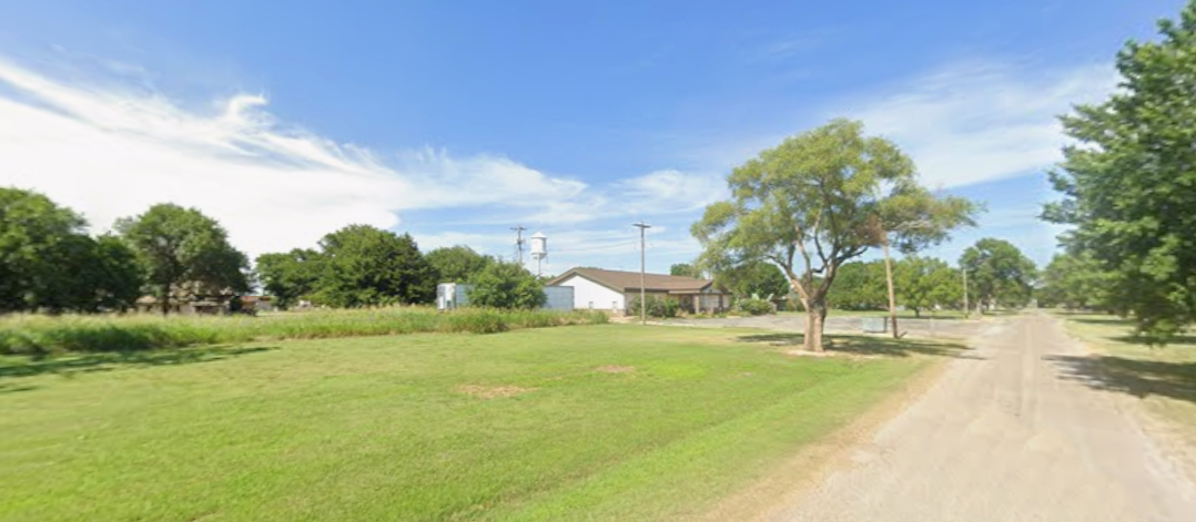
The Signal Ridge District encompasses approximately 214,000 acres of mixed conifer forest and protected watershed.
The district includes elevated observation structures, restricted fire monitoring zones, and limited public access corridors.
Public Access Status
Certain areas of Signal Ridge remain closed under the September 2014 Fire Containment Order.
- Upper Ridge Trail – Closed
- Tower Access Road – Restricted
- Eastern Basin Campsite – Closed
Closure status is reviewed periodically.
Facilities
| Facility | Status |
|---|---|
| Fire Watch Tower 7 | Restricted Access |
| Signal Ridge Ranger Station | Temporarily Unstaffed |
| Upper Ridge Trailhead | Closed |
Incident Archive
The September 2014 wildfire event resulted in extended access limitations across the district.
Official documentation remains under review.
Signal Ridge Fire Summary (2014)Environmental Impact Assessment
Personnel Reports
Wildlife & Environmental Notes
Recent wildlife surveys indicate stable populations within district boundaries.
Reports of unclassified animal activity have not been substantiated.
District Conditions
Fire Risk Level: Elevated
Visitor Access: Limited
Last Inspection: October 2, 2014
District Contact
Signal Ridge Office
Status: Unstaffed
For inquiries, contact County Dispatch